Drone Surveys provide a quick, efficient, and accurate way to record construction sites with minimal disruption. Using ground control points (GCPs) and high-resolution aerial imagery, the site is captured and processed into a georeferenced 3D surface compatible with AutoCAD Civil 3D, complete with reliable dimensions and elevation data.
The outputs are ideally suited for earthworks measurement, cut and fill volume calculations, stockpile quantities, and ongoing site progress monitoring. This allows contractors, project managers, and quantity surveyors to make informed decisions based on up-to-date site data and independently measured quantities.
Examples of recent projects are shown below. Each survey is delivered with a professional report, and results can also be provided as an interactive 3D model for easy review by all stakeholders, or in video format to clearly demonstrate site progress over time.
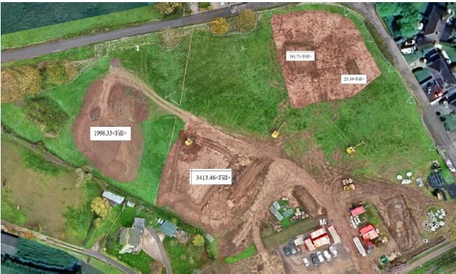
The image below shows calculations of ‘Earthwork Volumes’.
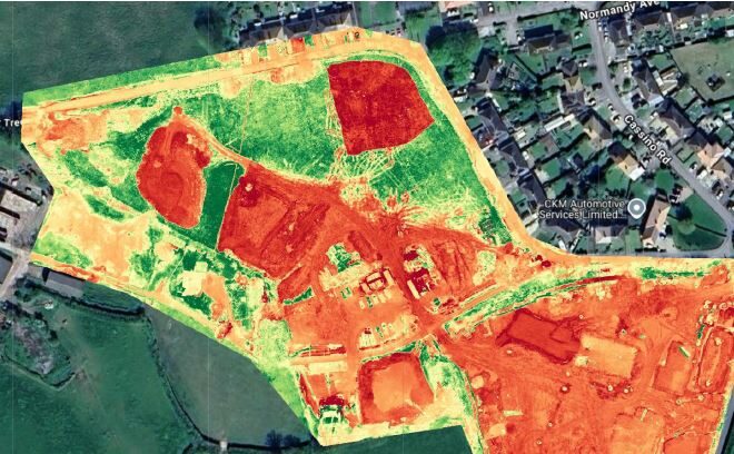
The image below highlights changes across the site between survey periods. Green shows the original surface, with red indicating areas of completed or ongoing works, providing a clear and reliable tool for progress reporting and site monitoring.
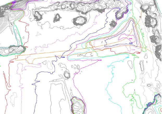
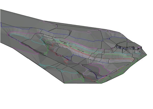
Topographical survey conducted using drone survey levels. This project required precise measurement of the road cut works already completed by the contractor. The image below shows the excavation captured as a 3D surface model, providing a clear visualisation and accurate measurement of the cut. Areas with a high density of contours correspond to trees, illustrating both their width and height; this data can also be converted into a 2D topographical survey if required.
Click to view a Drone Survey 3D model example
The images below show drone topographical surveys including cut/fill and tree surveys.